


Gipfelrunde

SityTrail - itinéraires balisés pédestres
Tous les sentiers balisés d’Europe GUIDE+
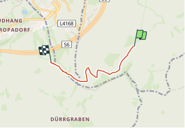

Length
3.4 km

Max alt
1452 m

Uphill gradient
80 m
Km-Effort
4.9 km

Min alt
1258 m

Downhill gradient
219 m
Boucle
No

Signpost
Creation date :
2022-02-16 16:24:35.57
Updated on :
2022-03-03 07:41:46.425
1h06
Difficulty : Easy

FREE GPS app for hiking
 SityTrail
IGN / Geographical institutes
SityTrail Plus
The world is yours!
About
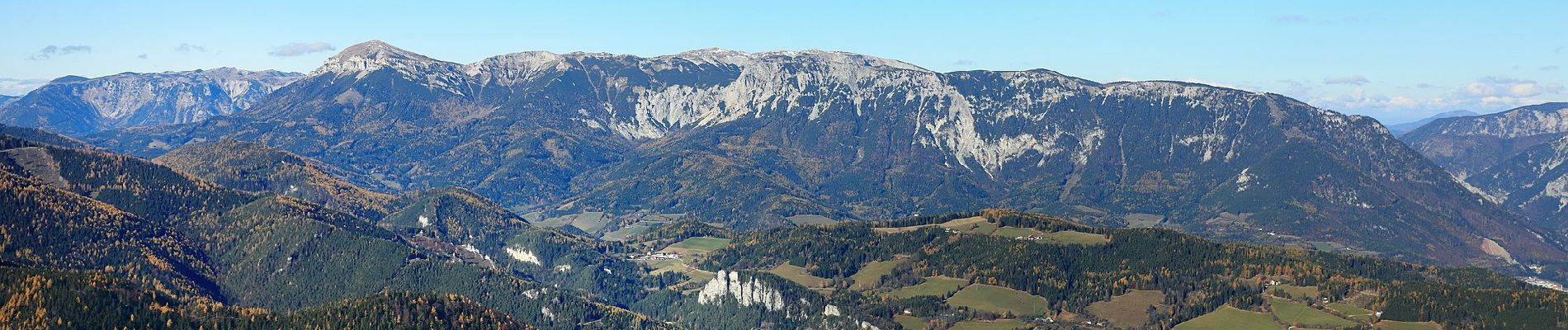
Trail On foot of 3.4 km to be discovered at Lower Austria, Bezirk Neunkirchen, Gemeinde Schottwien. This trail is proposed by SityTrail - itinéraires balisés pédestres.
Photos


Positioning
Country:
Austria
Region :
Lower Austria
Department/Province :
Bezirk Neunkirchen
Municipality :
Gemeinde Schottwien
Location:
Unknown
Start:(Dec)
Start:(UTM)
564579 ; 5275152 (33T) N.
Comments